Felix Klein · 7 September 2026
Archaeologists Map Prehistoric Trade Routes Embedded in Emberway's Sussex Terrain
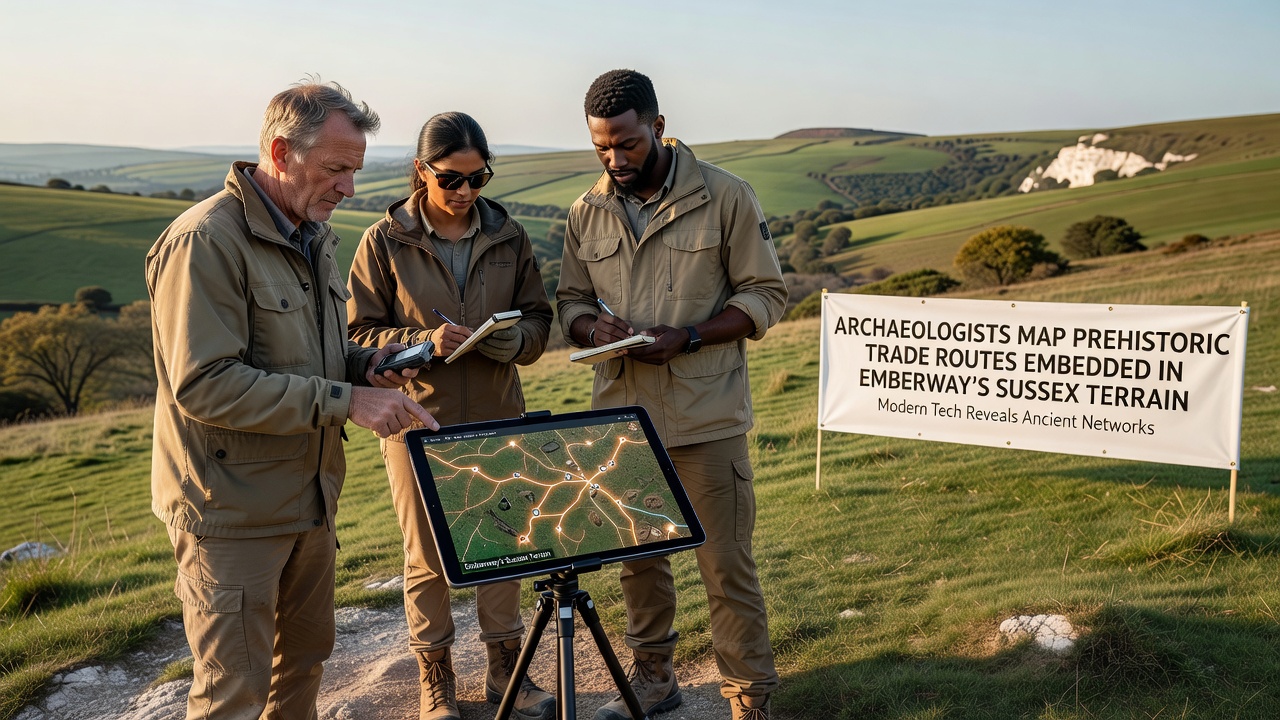
Archaeologists have started detailed mapping work on prehistoric trade routes that run through the Emberway terrain in Sussex, where soil layers and subtle landscape features preserve evidence of ancient pathways used for exchanging flint, metals, and other goods thousands of years ago. These routes connect Neolithic flint mines in the South Downs with Bronze Age settlements further east, and the Emberway path follows several of these alignments closely enough that field teams can trace them with geophysical surveys and targeted excavations. Data from initial surveys conducted in 2024 and 2025 show consistent patterns of compacted soil and scattered tool fragments along the route corridors, which researchers cross-reference with lidar imagery to build three-dimensional models of the terrain.
Survey Techniques and Terrain Analysis
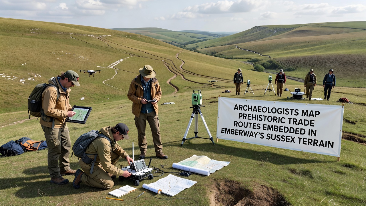
Teams combine ground-penetrating radar with drone-based photogrammetry to identify buried trackways that predate the Roman period by several millennia, and the Emberway's gentle gradients make these features easier to detect than in steeper upland areas. One study released by the University of Reading outlines how magnetic susceptibility readings highlight areas where repeated foot traffic altered local soil chemistry, creating linear anomalies that align with known prehistoric artifact scatters. Researchers also examine hedgerow patterns and field boundaries that appear to respect older route alignments, which helps them extend mapped sections without disturbing every potential site.
September 2026 marks the scheduled release of a consolidated dataset that will include high-resolution elevation models and sample results from test pits dug at three key junctions along the Emberway corridor. The project draws on methods already tested in similar landscapes across southern England, where comparable trade networks carried stone axes and pottery between coastal landing points and inland communities.
Evidence of Long-Distance Exchange
Flint nodules from the Sussex mines traveled as far as the Thames Valley and into parts of what is now Kent, while metalwork from the Wessex region appears in Sussex hoards, indicating bidirectional movement along these corridors. Artifact typologies recovered near the Emberway show stylistic links to assemblages documented by the British Museum in their prehistoric collections, confirming that goods moved through this terrain rather than stopping at local settlements. Pollen records from preserved ditch fills reveal shifts in vegetation consistent with clearance for track maintenance, and carbon dates cluster around 2500 to 1500 BCE for the most intensive use phases.
Those working on the project note that the Emberway terrain preserves these routes better than surrounding farmland because modern ploughing has been limited along the designated path. This protection allows finer details, such as wheel ruts from later prehistoric vehicles, to remain visible in the subsoil. Comparisons with trade route studies conducted in Brittany by French archaeological services show similar topographic preferences for routes that avoid heavy clay soils while staying near water sources, a pattern repeated in the Sussex examples.
Integration with Existing Heritage Records
Historic England maintains the national database of scheduled monuments that now incorporates several newly identified segments along the Emberway, and the mapping work feeds directly into updates for the South Downs National Park management plan. Local volunteers trained in basic survey methods assist with surface collection, which has turned up additional hammerstones and pottery sherds that refine the chronology of use. The combined dataset will eventually feed into public resources that let researchers elsewhere compare Sussex findings with trade networks documented in other parts of the UK and northern Europe.
Conclusion
The ongoing work demonstrates how a single terrain corridor can preserve multiple layers of prehistoric activity when modern development stays minimal, and the Emberway project provides a practical model for similar studies in other regions. Once the September 2026 maps become available, they will support further analysis of how these ancient routes shaped later settlement patterns across Sussex and beyond.